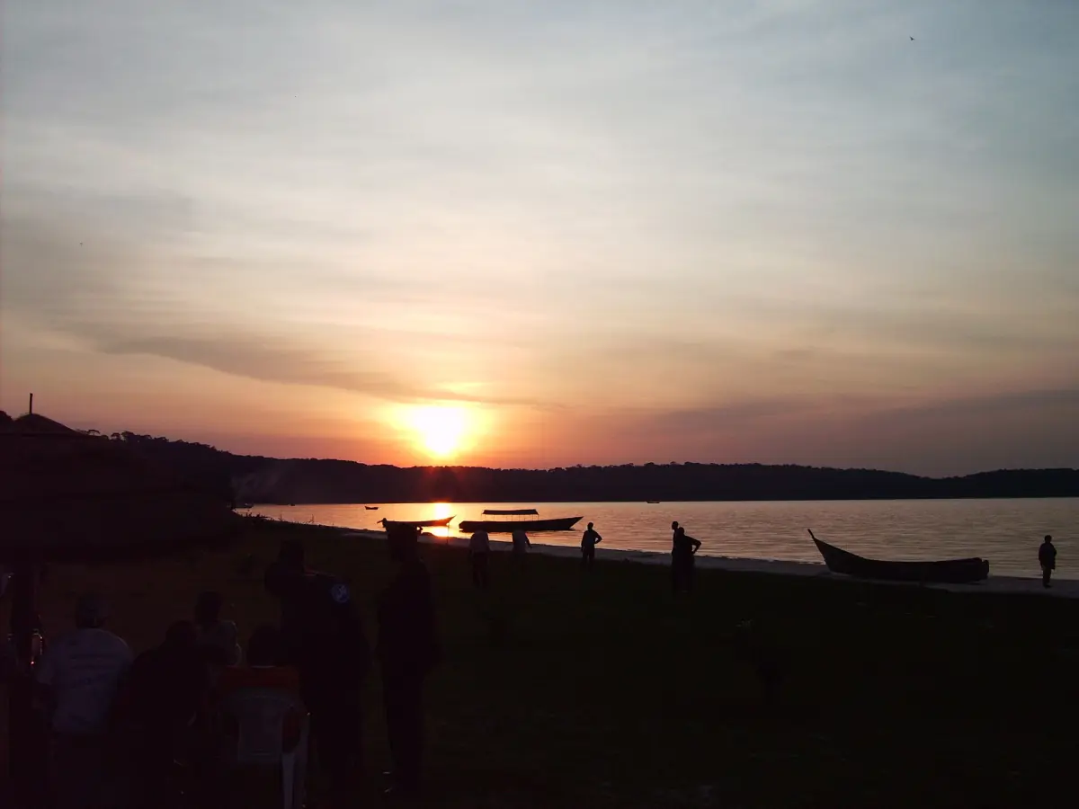
Ssese Islands weather at a glance
The islands lie in Lake Victoria close to the equator, so the temperature hardly changes through the year. Days are warm, nights are mild, and the lake adds humidity and sudden storms. What changes is the rain. There are two rainy periods, and the months between them are drier, not dry.
There is no published climate table for Bugala or Banda themselves. The table below is the official long-term record for Entebbe, a town on the same lake. Treat it as a guide to the pattern, not as a measurement on the islands. The averages cover 1961 to 1990, so they describe the usual shape of the year, not the weather in a particular year.
Monthly climate, based on Entebbe
Mean daily highs and lows and mean monthly rainfall, from the national weather service data published by the WMO, 1961 to 1990.
| Month | High | Low | Rain |
|---|---|---|---|
| January | 26.3 °C | 18.0 °C | 86.7 mm |
| February | 27.3 °C | 18.3 °C | 84.4 mm |
| March | 26.7 °C | 18.5 °C | 184.5 mm |
| April | 26.0 °C | 18.4 °C | 264.4 mm |
| May | 25.4 °C | 18.0 °C | 253.8 mm |
| June | 25.2 °C | 17.8 °C | 116.2 mm |
| July | 25.3 °C | 17.2 °C | 72.1 mm |
| August | 25.9 °C | 17.4 °C | 77.8 mm |
| September | 26.5 °C | 17.4 °C | 79.0 mm |
| October | 26.5 °C | 17.7 °C | 127.6 mm |
| November | 26.0 °C | 17.9 °C | 171.7 mm |
| December | 26.5 °C | 17.8 °C | 120.6 mm |
Highs and lows are mean daily values, not records. Rainfall is the mean total for the month.
Our picks: a boat trip in the drier months
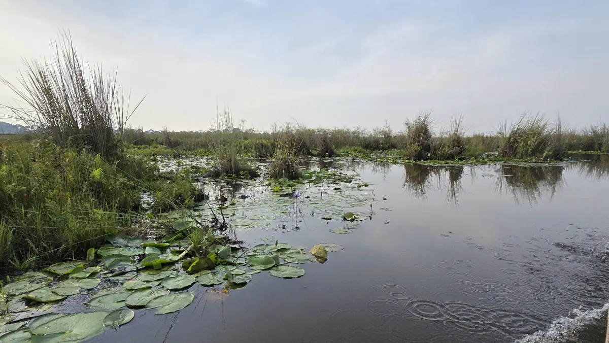
For the drier stretches in the table, July to September and January to February, this boat trip into Mabamba Swamp from Entebbe is a short way onto the water.
Hand-picked tours, booked through GetYourGuide. Prices are indicative starting prices in US dollars (as of October 2026). Tap a tour for live availability and the current price in your currency.
Lake Victoria trips and tours
Boat trips and day tours from Entebbe and Kampala, with live prices and availability.
What the table means for your trip
Wetter and drier months, and why neither is a guarantee.
The long rains: March to May
April and May are the wettest months in the table, with roughly 250 to 265 mm each. A district profile also describes March to May as one of the two rainy periods. Expect heavy showers, muddy tracks and rougher water.
The short rains: October to November
October brings about 128 mm and November about 172 mm. This is the second, shorter wet period of the year.
The drier stretches
July to September and January to February have the lowest rainfall in the table, between about 72 and 87 mm a month. That makes them the usual choice for beaches, walks and boat trips. Drier does not mean rain-free, and nobody can promise a calm lake.
Heat and nights
The difference between the warmest and coolest month is only a few degrees. Pack light clothes for the day, a thin layer for the evening on the water and a rain jacket in every month.
Storms and wind on the lake
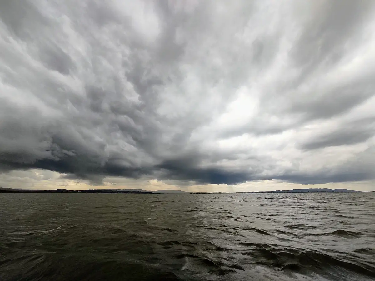
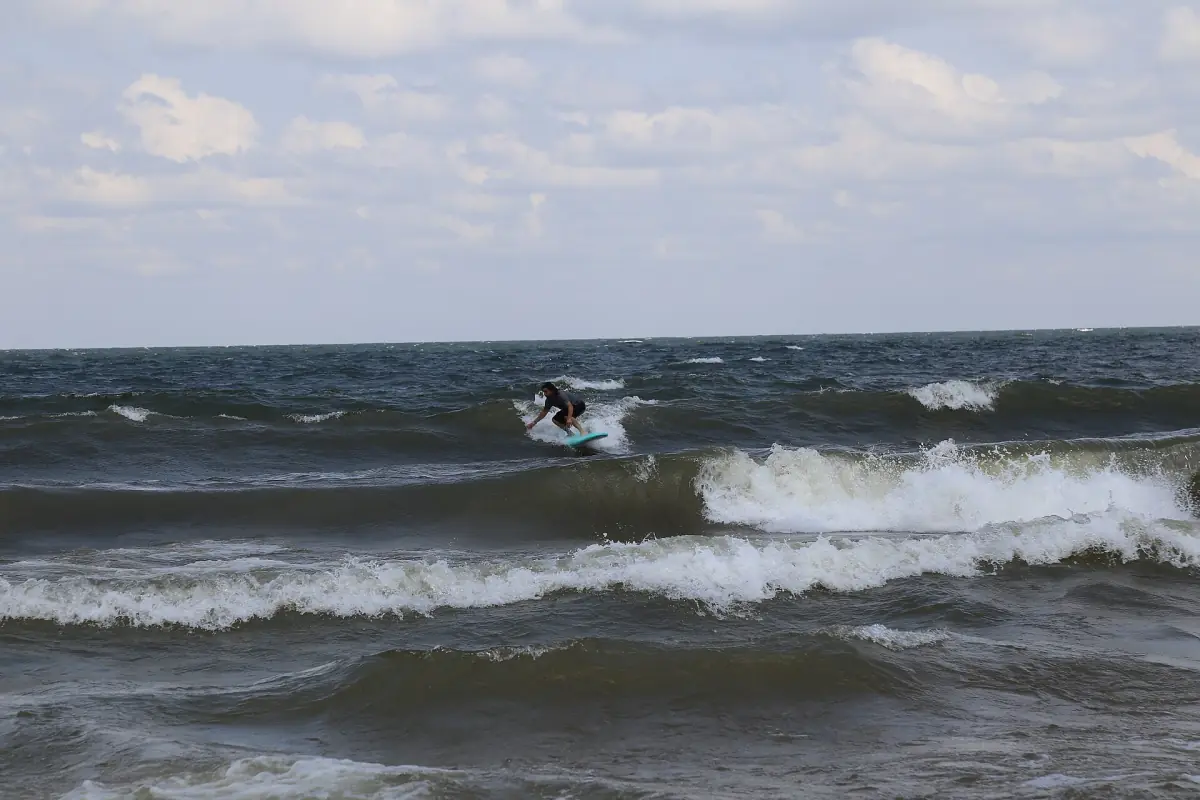
Lake Victoria makes its own weather. Thunderstorms can build quickly, and wind raises waves that make small boats unpleasant or unsafe. The national weather service issues thunderstorm warnings for the lake from time to time. Look for the latest forecast before every crossing or boat trip, and accept a delay if the crew advises it.
Ferry times are set by the operator, so check the current schedule on the ferry page before you plan a connection. For boat rules and life jackets, see safety on the lake.
Book boat trips with spare time in your schedule, so a storm delay does not wreck your plans.
Best time to visit the Ssese Islands
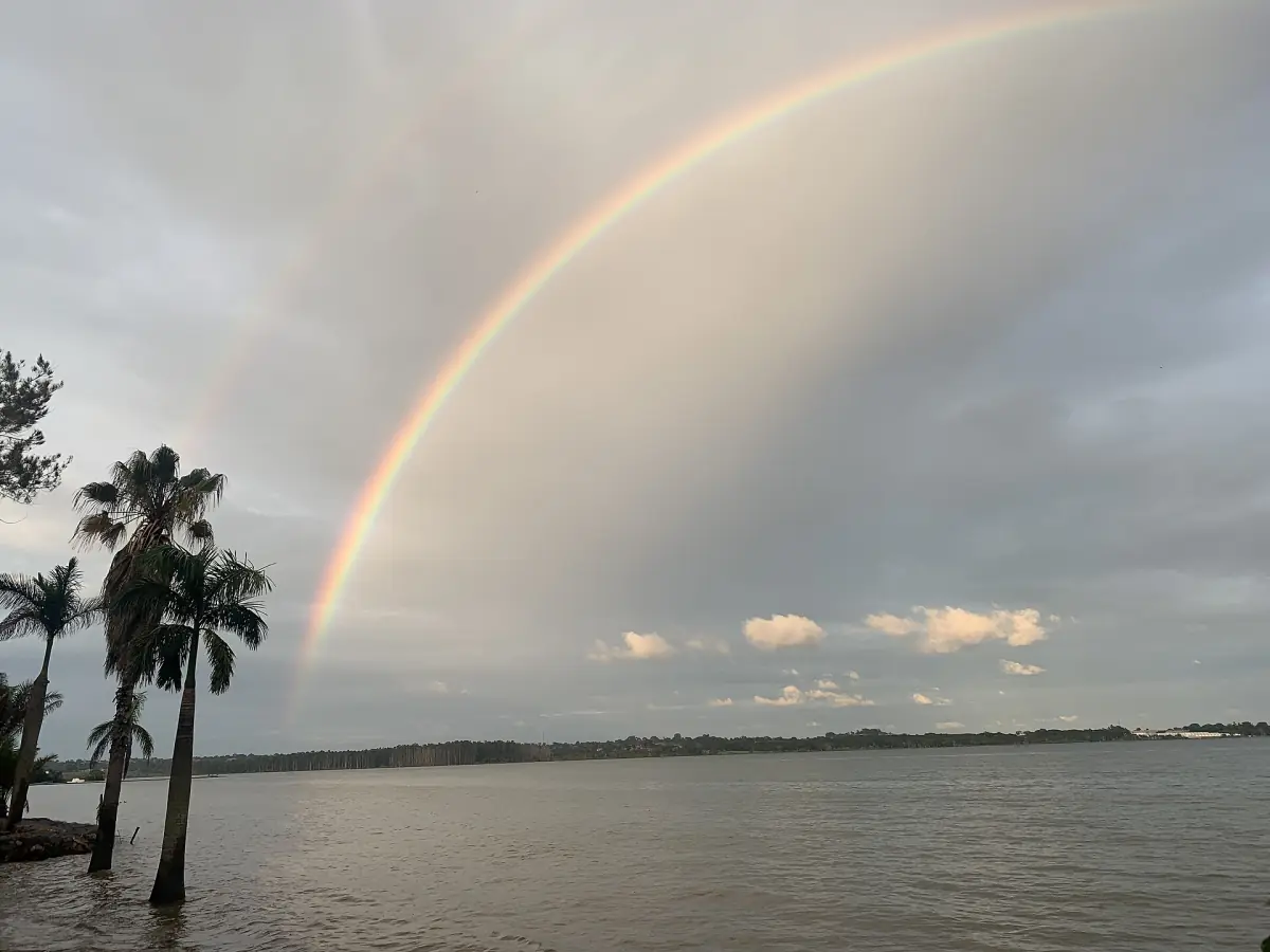
If you can choose, aim for July to September, or January and February. Those months have the least rain in the long-term table, so tracks are easier and the lake is more often fit for boat trips. The rest of the year is still possible. Bring a plan B for rainy days: a longer breakfast, a village walk between showers or a day for the ferry.
Lake storms are part of the trip in any month. Book flexible dates and travel with some slack in your schedule. For the country as a whole, see the guide to the best time to visit Uganda.
When you have picked your dates, use the page on where to stay for places with published details.
Plan the rest of your trip
Pages that go with your dates.
Ssese Islands weather: frequently asked questions
What is the weather like on the Ssese Islands?
Warm and humid, with daily highs of about 25 to 27 °C and lows of about 17 to 18 °C in the Entebbe record. There are two rainy seasons, and storms can form quickly over the lake.
When is the rainy season?
The long rains fall from March to May, and a shorter wet period comes in October and November. April and May are the wettest months in the long-term table.
What is the driest time of year?
July to September and January to February have the least rain in the long-term record. Even then showers happen, so do not plan around a guarantee.
Is the Entebbe table valid for Kalangala?
It shows the pattern for the northern shore of the same lake, which is why it is the reference here. Local conditions on Bugala and Banda can differ, especially for wind and storms on the water.
Does the weather affect the ferry?
Strong wind and storms can change boat schedules. Check the current timetable and ask the operator on the day. The ferry page lists the routes.
Do I need a rain jacket?
Yes, in every month. A light waterproof layer also helps against wind and spray on the boat.